The short version
- A fire's distance is the wrong number on its own. Three miles upwind and three miles downwind are not the same situation.
- The FireShield map draws the actual wind field — direction and speed, sampled roughly every two miles — as moving streaks across the terrain.
- The app also carries the weather and forecast for your property specifically, not the nearest city: wind, humidity, temperature, rain chance and air quality.
- Being straight with you: today the automatic trigger is a distance test. Wind and weather inform your decision; they do not yet move the threshold on their own.
- Wind-aware hazard analysis is described in our patent filing. When it drives activation, we will say so here — and not before.
Open almost any fire app and you get dots on a map. Perimeters, acreage, containment. All useful, all describing where a fire has been.
The thing that decides whether it becomes your problem is not on most of those maps.
Distance is half a fact
A fire three miles away, with a fifteen mile an hour wind blowing from it to you, across dry brush, is an emergency. Embers travel far ahead of a flame front, and embers are what actually ignite houses — not radiant heat, not a wall of flame arriving down your street.
The same fire three miles away with the wind blowing the other way is something to keep an eye on.
Same distance. Not remotely the same night.
Any system that reduces the situation to a single number is asking you to fill in the rest yourself. Fine — as long as it gives you what you need to do that.
What the map actually draws
The FireShield map does not show a wind arrow in the corner. It draws the wind field itself.
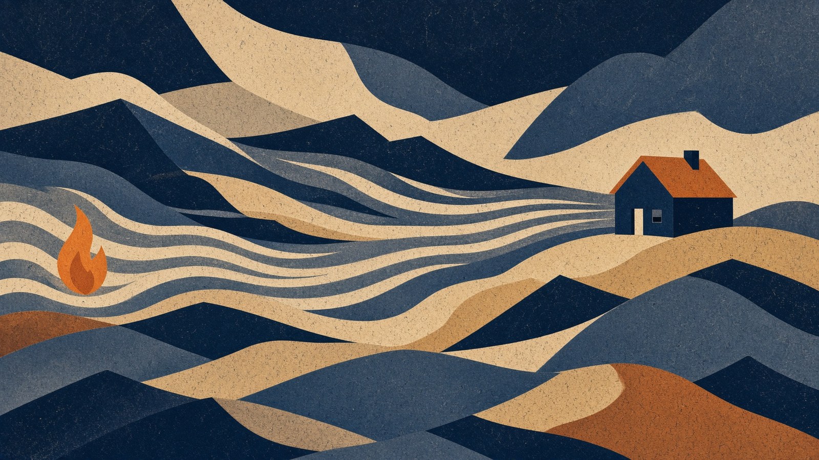
The map carries wind vectors sampled roughly every two miles — each one a speed and a bearing, the direction the wind is blowing towards. The app takes the vectors for the area you are looking at and animates particles through them: moving streaks that drift with the wind and leave a fading trail.
The effect is that you can see the shape of the airflow across the terrain — where it accelerates through a pass, where it turns around a ridge, which way it is running relative to the fire and to your house. Between a fire marker and your property, the streaks tell you whether that gap is closing.
Two deliberate details. The field is drawn only for the area on screen, so panning the map is not a data request. And while the camera is moving the field is stale, so the overlay hides and reappears once you settle — the alternative is streaks that appear to swim sideways as you pan, which looks like wind and is not.
The weather is for your address
The home screen carries today's conditions for the property itself: temperature, wind speed and direction, rain chance, humidity, plus an air quality reading and the pollutants behind it. The app also pulls the forecast, not just the current hour.
Humidity is the number people under-read. Fuel moisture tracks relative humidity, and once it falls far enough, material that would not have carried a fire in the morning will carry one in the afternoon. Low humidity and a rising wind is the combination that turns an ember into a house fire — which is why it is on the first screen rather than three taps in.
Air quality has a second job: a climbing number usually means smoke is reaching you already, which is a physical fact about your air that no perimeter map will tell you.
Where we will not overstate it
Here is the part a marketing department would leave out.
Today, FireShield's automatic activation is a distance test. A fire crosses the distance you set, your delay counts down, the system starts. Wind and humidity do not currently widen or tighten that threshold by themselves.
What wind and weather do is inform you: whether to start the system now rather than wait, whether to water one side of the property rather than all of it, whether this is a night to widen your activation distance before going to bed.
Our patent filing describes hazard analysis that combines wind direction, fuel condition, terrain and fire location into a per-property risk assessment — directly connecting that analysis to physical actuation. That is the direction this is going. It is not what ships in the trigger today, and we are not going to describe a filing as a feature.
When wind moves your activation threshold on its own, this page will say so, with the date it started. Until then it is your eyes, well fed.
How to actually use it
- Look at the streaks between the fire and your house, not just the gap. Wind running along your line of sight to a fire is a different night from wind running across it.
- Check humidity before you decide to wait. A fire that was static at 40% humidity can move at 12%.
- Use zones with the wind. If it is pushing embers over one fence line, put your water there rather than spreading it evenly.
- Widen your distance on a red flag night — especially if you will be asleep or away.
What to ask
- Does the app show me wind direction and speed around my property, or only fire locations?
- Is the weather for my address or the nearest city?
- Does wind affect when the system activates — and if the answer is yes, ask exactly how.
That last question is worth asking of everyone, including us. The honest answer today is: not yet, and here is what it does instead.